


The Belgian Voerstreek consists of six villages located in a beautiful green surrounding!
'S-GRAVENVOEREN
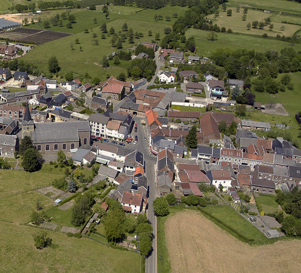
s-Gravenvoeren has developed as a ribbon village along the river Voer, with numerous footbridges over the water to the houses.
- A bank in the center to withdraw money
- The town hall of the entire Voer region
- Some very interesting hangouts
- Completely restored church and presbytery
- Visitor Center De Voerstreek
- A gas station to fill up your tank
SINT-MARTENS-VOEREN
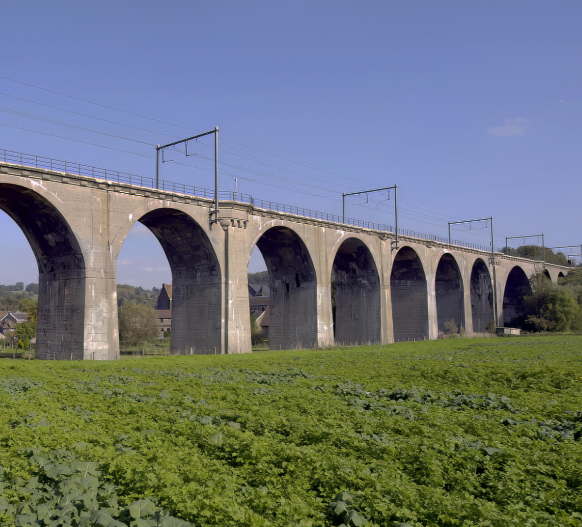
The village image is dominated by the 23 m high railway bridge. It is part of the Tongeren-Aachen line that was built by the Germans during the First World War.
- Railway bridge from the first world war
- The longest railway tunnel in Flanders (2070 m)
- St. Martin's Church dates from the 13th century
- Frissen's mill
- The famous Veltmans House
- Where the Veurs flows into the Voer
SINT-PIETERS-VOEREN
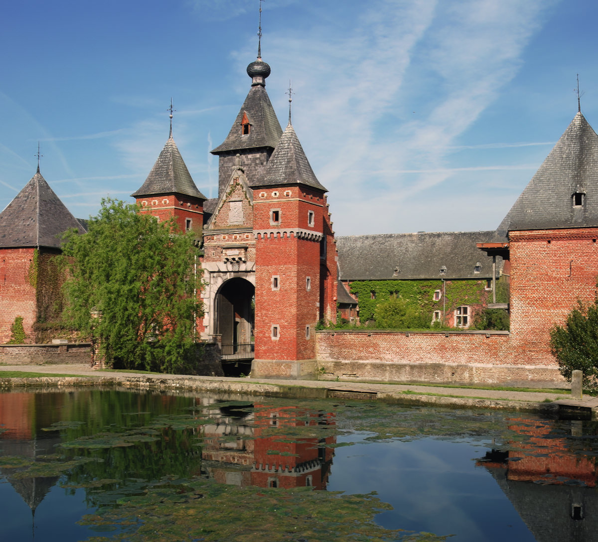
The smallest Voerdorp, with less than 300 inhabitants, is best known for its Commanderie. This castle belonged to the German Knighthood until the French Revolution.
- The source of the river Voer
- Village church is from around 1660
- The Sint-Anna chapel from 1730
- A beautiful panorama of the Voer region
- The castle Magis
- Hollow roads and monumental trees
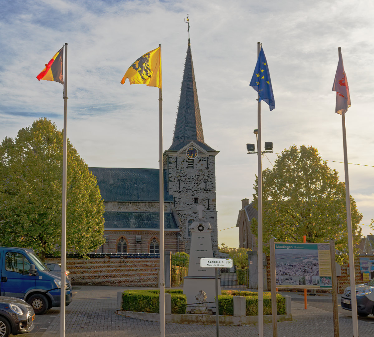
MOELINGEN
Moelingen is the westernmost village of the merged municipality of Voeren. It is located in the Meuse valley on the river Berwijn.
- The Church of Our Lady dates from the 12th century
- There are still some remains of the 'Schans' to see
- Vlakbij ligt een stuwdam over de Maas
- Statue "D'r Djimmer" on the church square
- The entrance gate of Voeren
- Several closed brick hooves
REMERSDAAL
The landscape in the east of the Voer region already shows the characteristics of the Land of Herve: the farms are scattered amidst the meadows, hawthorn hedges and fruit trees.
- The neo-Gothic Sint-Heribertus church from 1897
- The castle of Obsinnich, from the 17th century
- Extreme tip of the Voer region
- Strouvenbos and the Reesberg near Hagelstein
- Highest points in Flanders
- Located in a side valley of the Gulp
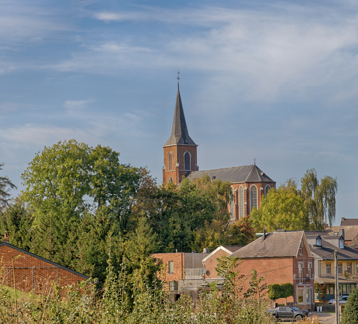
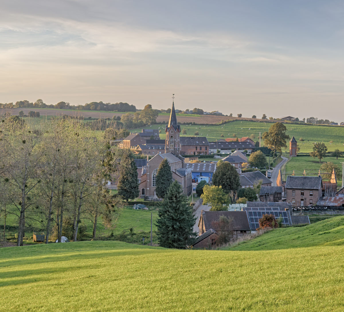
TEUVEN
Teuven is located in a beautiful undulating landscape, surrounded by extensive forests. The neo-Gothic St. Peter's Church from 1870 rises remarkably high above the rest of the village.
- De Hoof or De Draeck castle
- The old abbey of Sinnich
- The church and parish hall of Teuven
- A well at Mother Goose
- The former town hall of Teuven
- The mudflats in Nurop